The Origins Behind Liverpool’s Place-names
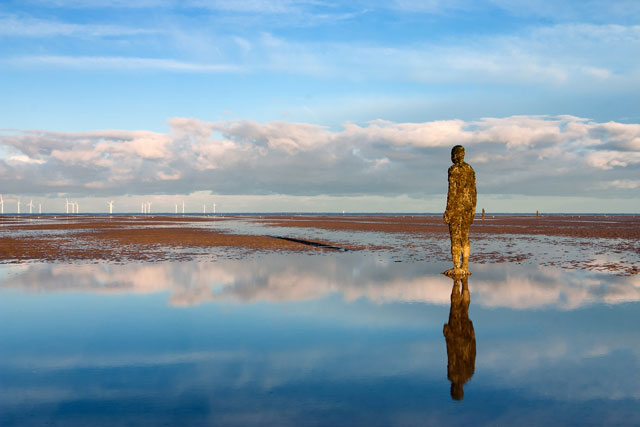
Have you ever wondered about the inspiration behind your area’s place-name? Wonder no more. We are taking a look back at the origins of the city’s names, so you can learn a little bit more about the path under your feet.
Aigburth
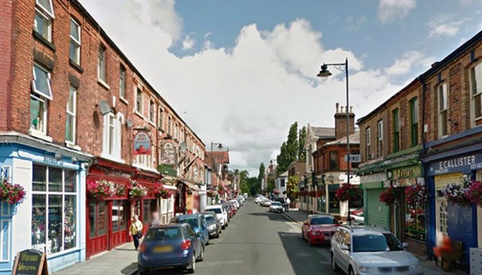
Aigburth is an Anglo-Saxon place-name that translates as ‘place of the oaks’ in modern English. To do this day, Aigburth remains a rather green suburb in comparison to neighbouring areas, offering a wonderful mix of housing, parks, restaurants and woodland.
Anfield
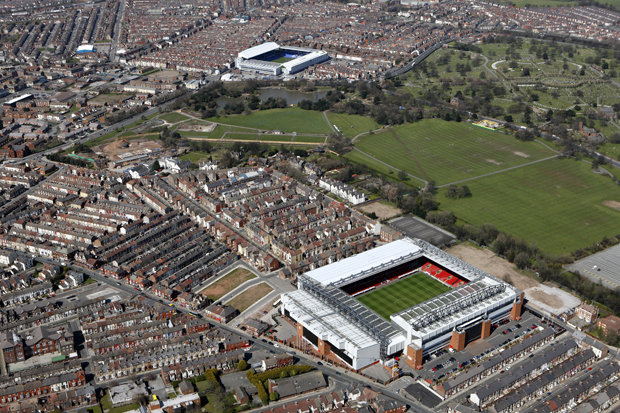
Millions of people across the world will associate Anfield with Liverpool FC, but Liverpudlians will know it as the area located between Tuebrook and Walton, or Everton and Clubmoor. However, did you know Anfield is a corruption of the words ‘hangfield’ or ‘the hanging field’? This is a reference to the sloping farmland behind Everton, which served as an agricultural district, which sloped towards Tuebrook and West Derby. It wasn’t until the 19th century that housing was built to provide homes to working class families. On a clear day on Anfield’s Breck Road, you can see the Pennines, thanks to the area’s famous slope.
Bootle
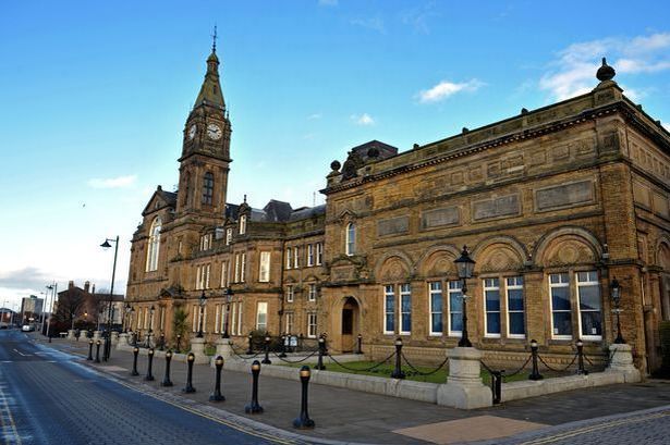
The small township of ‘Boltelai’ was in existence at the time of the Domesday survey in 1086, with the name derived from the Anglo-Saxon word ‘botl’, which meant a building or settlement of importance. The name later evolved to Bootle.
Non-Bootlers might be surprised to learn the suburb was originally a small fishing village and later a seaside resort, offering miles of golden sands. Bootle was responsible for providing the town with fresh water, and the earliest people living here were Anglians from Northumbria, who are believed to have settled in AD 613. The area was purchased by Lord Derby in the 18th century, who laid out formal streets, which were named after the colleges of Oxford and Cambridge.
Childwall
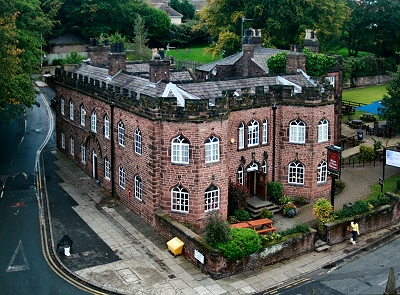
Childwall was also mentioned in the 11th century Domesday Survey, but was known as ‘Cilduuelle’, which had a similar pronunciation to today’s spelling. The word Cilduuelle is a derivative of ‘Kelda Vollr’, which means spring field, as the area once offered clear wells.
Crosby

Crosby was recorded in the Domesday Book as ‘Crosebi’ in 1086 and was referred to as ‘Crosseby’ in 1212. The town is thought to have Viking roots and the Old Norse place-name means ‘village with the cross’. It wasn’t until the opening of the Liverpool, Crosby and Southport Railway in 1841 that Crosby became a suburb of Liverpool.
Croxteth
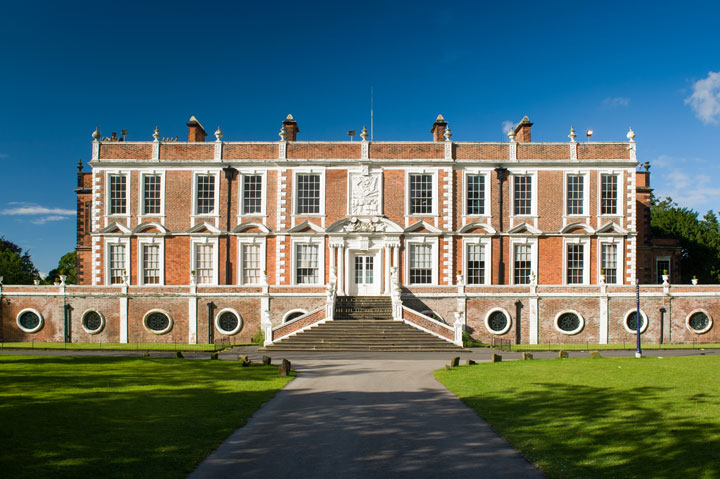
Croxteth isn’t just the childhood area of Wayne and Colleen Rooney, but it could have been the site of a prehistoric settlement, as prehistoric tools were found in the area back in 1992. The name Croxteth is believed to derive from either a contraction of Crocker’s Staithe or the landing place of a Crocker, which could be a reference to a Viking landing via the River Alt, which passes through the area.
Edge Hill
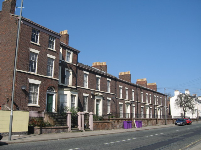
Edge Hill gained its name in the 18th century due to its sharp descent towards Liverpool. However, previous maps once marked the area as Chetham’s Brow. Edge Hill once overlooked Mosslake, which was a large expanse of water that separated the old village from the town. The area was also once the home of Liverpool’s merchant princes, as only the town’s wealthiest residents could afford to escape the noise of Liverpool.
Everton
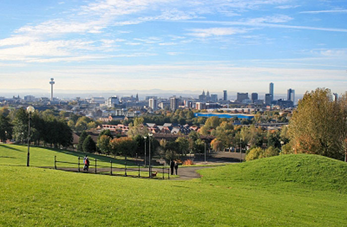
The word Everton has evolved from ‘Evreton’ in 1094 and ‘Euerton’ in 1201, but has been named as the area we know today since the 13th century, serving in the war against the Spanish Armada and the English Civil War, despite being a small village at the time. Everton is Liverpool’s highest point and once served as an ideal location for farming, hunting and trapping.
Fazakerley
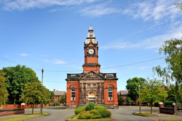
Fazakerley is the only town in Britain to hold this place-name, which is believed to be Anglo-Saxon for ‘the boundary near the field by the meadow’. The area was mostly an agricultural district, and the name has been in use since 1321, despite a 1333 document calling the district ‘Phesacrelegh’.
Gateacre
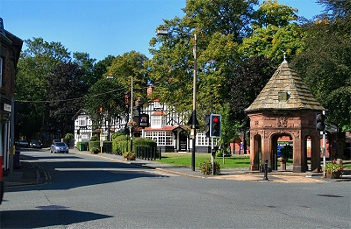
The place-name Gateacre is derived from the word ‘gate’, as in a road or way, and ‘acre’ for a field. The name is believed to be Middle English, so many believe it gained the place-name approximately seven or eight hundred years ago.
Kirkby
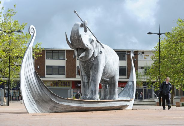
Kirkby is derived from the Old Norse word elements of ‘Kirkja’ and ‘byr’, and is thought to have a Danish origin, which means ‘church’, ‘settlement’ or ‘village’. The first evidence of the settlement was in the Domesday Book, with 900 Irish settlers moving here. The area remained a farmland until the middle of the 20th century, when the Liverpool Corporation developed new ‘overspill’ estates on the land.
Kirkdale
Kirkdale’s history dates back to the Domesday Book, and the Norse place-name means ‘the low ground on which stood the church’ or possibly ‘the low ground on the way to church’.
In 1086, Kirkdale was referred to as ‘Chirchedele’ in the Domesday Book, but was later called ‘Kirkedale’ by 1185 and ‘Kierkedale’ in a document just fifteen years later.
Litherland
Referred to as ‘Liderland’ in the Domesday Book of 1086, Litherland is a hybrid name of Old Norse ‘hlith-ar’, meaning “slope”, and Old English ‘land’. The first manor of Litherland comprised of one half and two quarters, which including Seaforth, Orrell and Ford.
Maghull
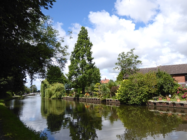
source: naturalistsnotebook.mnapage.info
Maghull dates back to the Domesday Survey of 1086, offering an agricultural settlement with fifty people and consisting of six square miles. The name Maghull could be derived from the Old Irish word ‘Magh’, Celtic word ‘magos’ or the Old English ‘halh’, which means ‘flat land in a bend of the river’. However, it could also be derived from the Anglo-Saxon word maegoehalh, which means ‘nook on the land where mayweed grows’.
Norris Green
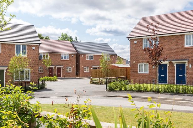
Norris Green was developed back in the 1920s and named after the prominent Norris family. The land is believed to have been donated by Lord Derby, who was the 17th Earl of Derby and Lord Mayor of Liverpool between 1911 and 1912.
Old Swan
Believe it or not, the area of Old Swan was actually named after the Three Swans pub, which stood on the corner of Broadgreen Road and Prescot Road, which is now the location of the Red House pub. The pub’s name was inspired by the Walton family’s coat-of-arms, as they owned land in the area. Until the 19th century, many of the roads in Old Swan were farm tracks, and it would often take a day’s journey from the inn to Liverpool by stagecoach.
Otterspool
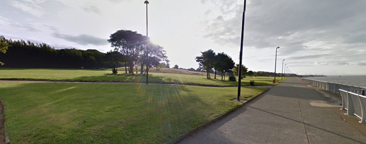
Otterspool was known as ‘the otter’s pool’ and served as the mouth of Osklesbrook, which widened with the flow into the River Mersey. The pool was known for salmon, which regularly attracted otters; however, it is today more famous for its promenade.
Toxteth
Toxteth was described in the Domesday Book as ‘Stochestede’, which is an Anglo-Saxon name that describes a stockade area that protects livestock. The area’s history dates back as far as 1207, when King John established a royal hunting park by purchasing the manor of Toxteth from the prominent Molyneux family, as he was establishing the borough of ‘Liuerpul’.
Tuebrook
Tuebrook’s place-name comes from one of the city’s lost rivers, the Tew Brook. The brook was marked on 18th century maps, and is believed to have flown parallel to Green Lane, crossing West Derby Road, which was known as Tewbrook Lane.
Walton
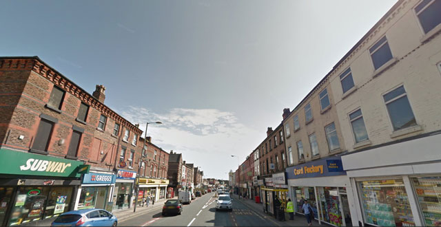
Walton is thought to be the oldest village part of modern Liverpool, as it was reportedly 600-800 years old at the time of the 11th century Domesday Survey. The ‘ton’ in Walton derives from the Anglo-Saxon word for a settlement. However, there is much argument about the ‘Wal’ in Walton, as many believe it is a reference to the area’s large number of wells, whilst others believe it could mean wood, as it was forested until the 13th century. Many writers have also stated Walton might mean a ‘walled town’, or it could even be a ‘town of the Britons’.
Wavertree
Wavertree may have been a settlement for more than 2,000 years, and is believed to mean “a settlement near a spring on a wasteland’. However, it could also mean, as the name implies, a place of waving trees.
West Derby
source: abode-group.co.uk
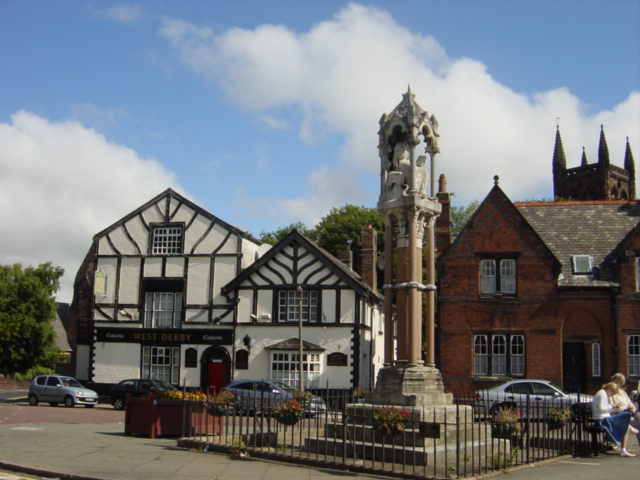
Before Liverpool became a borough, West Derby was an important township that was used for hunting. The place-name is derived from both Anglo-Saxon and Norse, as ‘deor’ (Anglo-Saxon) and ‘dyr’ (Norse) could be a reference to a wild animal, such as a deer. While the ‘by’ could suggest a township in many Scandinavian languages. There is also the potential West Derby was named after a person, such as ‘Deor’s Town’.
Vikings are believed to have arrived in West Derby during the 9th century, with the are becoming the centre of the Hundred, which stretched along the shoreline of North Meols, along both Southport and Warrington, all the way to Wigan and Ormskirk. In fact, West Derby was so important that a castle was built in the heavily wooded area.
Woolton
Woolton is an Old Norse and Anglo-Saxon name, which means ‘Wulf’s enclosure’, which was a farmstead created by a man named either Ulf or Wulf, which was a common Scandinavian name. As it offered brilliant views down river to the Wirral and Wales, it would have been a perfect site for either a small village or fortified farmhouse.
What are your favorite facts about your area, share them with us via the comments below, we’d love to hear about them. Want to learn more about the beautiful city of Liverpool’s history? Take a look at some historic photos of the Liverpool Blitz 1941 .
